
Project Abstract:
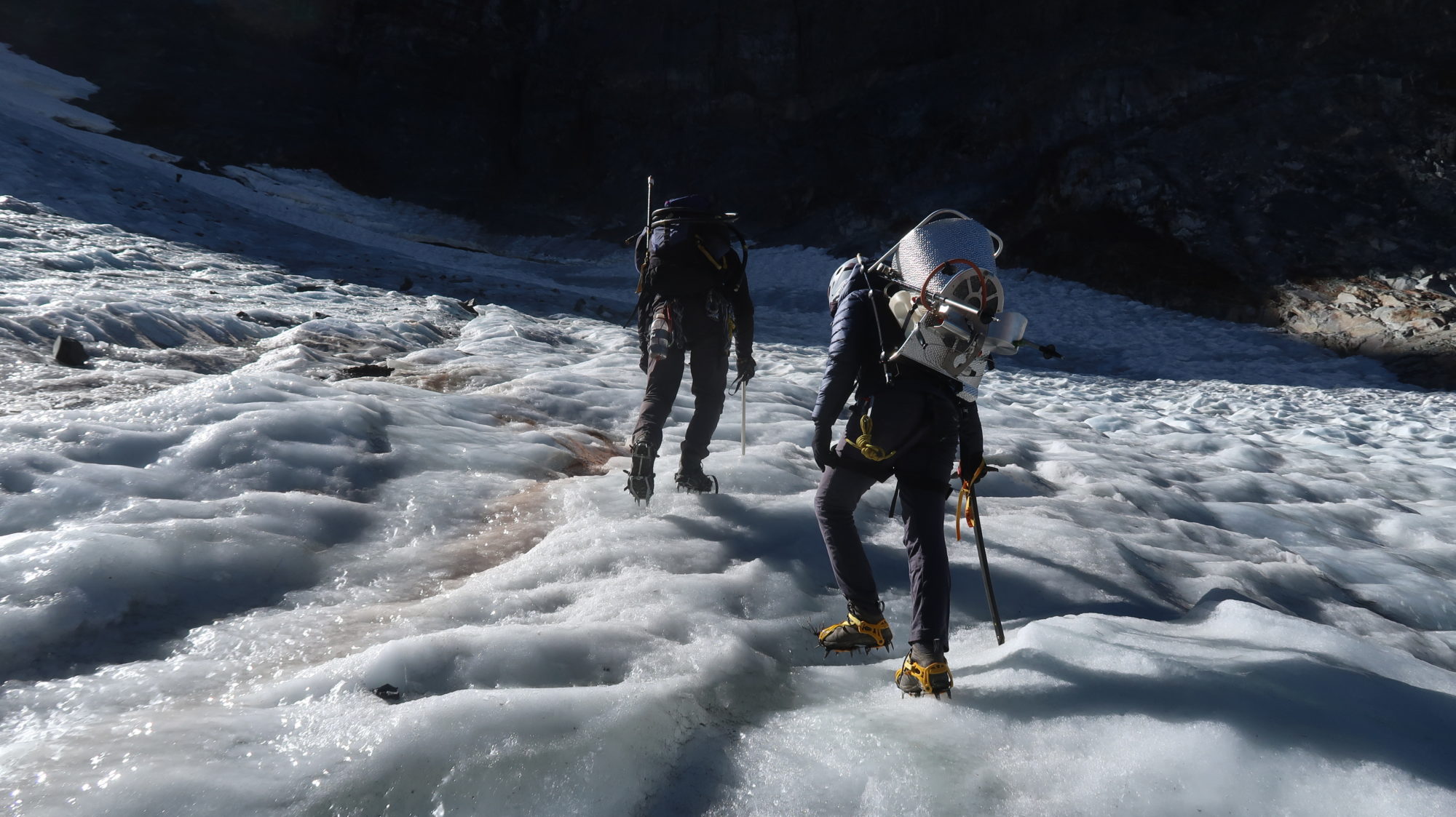
The Dana Glacier, located in the Sierra Nevada mountains, is rapidly melting away. I wanted to measure the volume of the remaining ice. This is difficult as there is no way to directly observe the bottom of the glacier. It was determined that direct field depth measurements combined with 3D modeling would reliably map the bedrock the glacier sits on. A steam drill is specialized ice equipment that can melt small holes through the glacier to bedrock. A permit was acquired, and a research team was put together. Over two days in October 2020, 5 holes were drilled and measured. This required use of ice axes, crampons, and climbing gear. Additional depth points were created by taking digital cross sections of the glacier terrain and drawing in a logical bedrock surface. Using ArcPro GIS, Cloud Compare, and depth points, bedrock surfaces were constructed using four Arc interpolation tools. Then Cloud Compare visualization and field experience were used to check reasonableness. After determining that the Krigging interpolation tool best modeled the bedrock surface, analysis tools were used to calculate the depth distribution and volume of the Dana Glacier.
It was determined that the Dana Glacier has a volume of 596,000 cubic meters, an average thickness of 13m and 50% of the glacier is under 12m thick. This is an extremely small volume for a glacier. Glaciers are the most sensitive indicators of climate change we have, and they are showing the severe impacts of rising temperatures. For example, it was determined that in 5 years 78% the Dana Glacier will have melted away. Without the consistent yearly glacial melt, the riparian habitat down canyon will be irreversibly changed and the same is true for both human and natural glacier dependent environments across the world.
